
As I write this article in the midst of the COVID-19 pandemic, I cannot but reflect on the role that our industry should be playing to help with the management of the crisis and the long road of reconstruction ahead, and that we are not yet in a position to fulfill.
The wide adoption of satellite-based Earth Observation (EO) data can and should play a critical role in the resiliency mindset that dealing with the current crisis requires, but that in turn demands that we learn to build the technology, the infrastructure, and most specifically the business models needed to deliver actionable, affordable and timely information to actors globally.
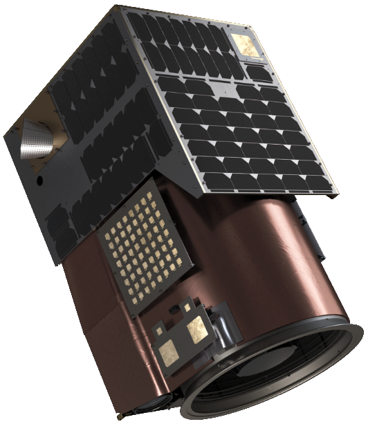
A Satellogic EO satellite. Image is courtesy of the company.
This technology/infrastructure/business-model stack can be modeled based on the Platform-as-a-Service, Software-as-a-Service, and other -as-a-service models that have transformed the distribution of software and information, and are at the core of the digital transformation for a wide variety of industries. Subscription business models are, as of yet, seldom used and with very limited impact in the EO market — even if they have proven elsewhere that they are well adapted for the distribution of proprietary, high-value added solutions. I’ll take a look at the reasons for this, in order to see if we can derive a series of drivers for the adoption of subscription and metered business models for the EO industry.
To Start...
We should start by taking a look at the Information Technology industry, where this new generation of subscription services encompasses the sharing of infrastructure, applications and business processes through the internet. The idea of sharing compute resources is at least as old as time sharing, back in the 1970s, but the scale and scope of the current services commercialized in subscription models had to wait for the availability of the security-rich, scalable, standards-based shared computer environments of what we call today cloud computing, in the second half of the 2000s. Those vast, internet connected data-centers allowed for the commoditization of compute infrastructure and the implementation of a metered, utility business model for computation1 that sets the foundation on top of which subscriptions to value-added services can be layered.
For all of the talk of the commoditization of satellite imagery, the EO market, and the wider Global Geo-information market, have not been able to rely on a metered supply that covers all the requirements to sustain such a revolution: necessity, reliability, usability, affordability and scalability.

Necessity — simply put, the fact that users consider this supply a necessity, clear in utilities such as water, electricity or communications; sometimes, as is the case in compute power, gaining this place takes time, but once the users start to count on this supply to conduct business, utilities blend into the background and become a necessary part of day-to-day life.
In the current EO market, mid and low-resolution satellite imagery might be argued to fulfill every other requirement in this list, but have failed to become a necessity for business: they are a nice to have, or good to have layer of information but users don’t depend on this data source to fulfill their day-to-day work. High-resolution, and very high-resolution data sources might become necessary for business, but have faced challenges in some of the other dimensions.
Reliability — the supply must be readily available for the user when and where it is needed. Both guaranteed revisits and remap frequency have proven challenging for the EO industry, for natural reasons, such as cloud-cover; for economic reasons, like the opportunity cost associated with tasking rights and pointing satellites to specific targets; and for regulatory reasons, like shutter-control and satellite operation licenses. Scaling the infrastructure in-orbit to address average service needs and accommodate peak demand seems to be the only viable alternative to address this issue.
Usability — regardless of how technologically complex they are to produce, utility services need to be simple and intuitive to use. Building a supply as easy to access as plugging into an electrical outlet or opening a faucet requires a great deal of standardization, packaging and processing to be able to support the most unsophisticated users. Current EO data products have still a long-way to go, but analysis ready data, and semantic layers based on standardized ontologies promise to bridge this gap.
Affordability — metered models, better adapted to less value-added products, or subscription models more adapted to value-added services and solutions, both require the end product to be affordable to customers. Affordability might require sophisticated pricing schemes, where the final price is tied to the value the service has for the end customer. In most instances in the existing EO market, the pricing is driven by the cost of data acquisition, and it prevents the utilization by customers much in need of it.
Scalability — utilities might be capital intensive, but they are businesses that favor economies of scale: as production capacity increases, the cost of production falls. In Earth Observation, there are still unexplored economies of scale on the supply side: for the moment, in everything but low-resolution data, the competition for scarce data acquisition resources has been the biggest barrier to scalability.
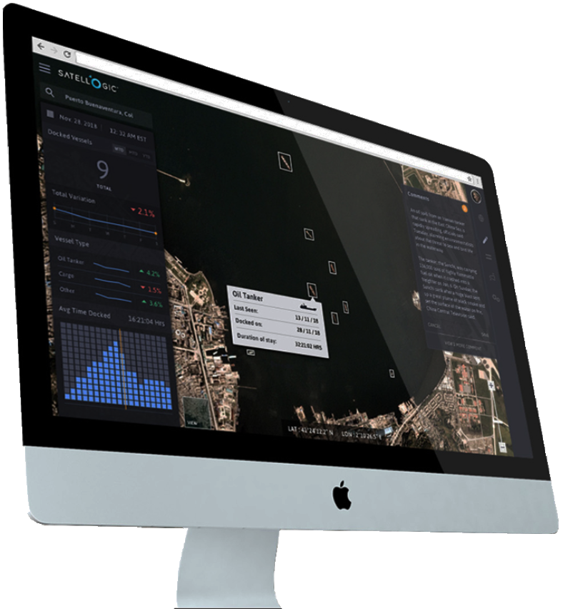
The Satellogic platform.
These five characteristics are the keys to drive wide adoption for EO data in mainstream applications, via the implementation of metered and subscription-based utility models to support a wide-range of users globally.
There are satellite-based services, such as GPS and geostationary communication relays, that have blended into the background for every business, government and individual. When I started Satellogic, I dreamt of a future where satellite-based EO raised to the same fate: where our data would blend into the background and become a fundamental part of daily decision-making for every government, business and individual in the planet, even if in the end they gave no conscious thought to the fact that satellites were involved in those processes.
In the last decade, as an industry we have made some progress, but we are still short on delivering on this promise. I hope that by embracing the utility paradigm and building the infrastructure and business models I described, we can support a wide range of new applications and discover the true potential of our technology.
At Satellogic, we believe in helping to build a world where everyone is prepared for the challenges of tomorrow. We strive to help solve the world’s most pressing problems by building an accurate and up-to-date picture of our planet and the many forces that reshape it every day.
Until today, geospatial analytics has been mostly used as a planning tool on a strategic level, but the challenges we face force us to rush to transform these tools into tactical decision-making tools for everyday action.
In the midst of our current crisis, the components required to collect geospatial data at scale, analyze it and derive insights to feed a resilient loop, need to rise to the occasion to become a key part of the toolset to build and operate the resilient infrastructure of a very dynamic 21st century.
Reference
1M. A. Rappa, “The Utility Business Model and the Future of Computing Services,” IBM System Journal, Vol. 43, No. 1, 2004, pp. 32-42.

Emiliano Kargieman serves as Chief Executive Officer at Satellogic. He has spent the last 25 years building technology and technology companies. Prior to co-founding Satellogic, Kargieman co-founded Core Security Technologies, where he has served in several operational roles and developed the first automated penetration testing software, earning the loyalty of clients such as Apple, Cisco, Homeland Security, NSA, NASA, Lockheed Martin, and DARPA. He also started three other technology endeavors and served as a Member of the Special Projects Group at the World Bank. When not thinking about, or building technology, Kargieman enjoys reading, writing, playing chess and other random sports. He is trying to learn to play the trumpet.
For additional Satellogic information, please access the company’s website at satellogic.com