
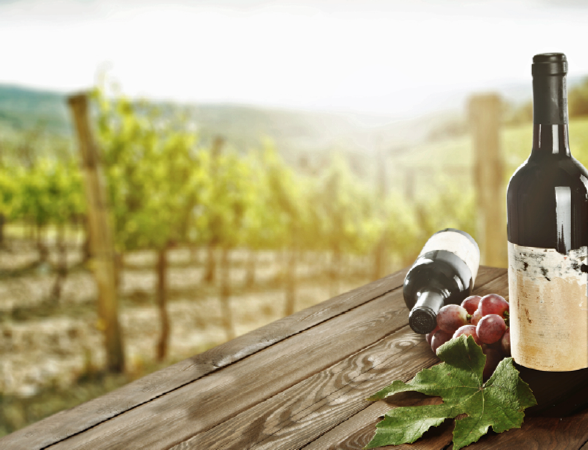
Wine is nature’s magical accident,” wrote former champion jockey and mystery writer Dick Francis. We enjoy wine today because naturally occurring yeast on grapes turns the sugar within them into alcohol.

The Correct Amount Of Vigor
Growing grapes for wine depends on a deep and intimate knowledge of what the French call the terroir (ter-WAH): how the region’s soil, climate and terrain affect the taste of the grapes grown there and the quality of the wine.
Traditionally, knowledge of the terroir was gained by endless walking of the rows of vines, inspecting and pruning the plants, irrigating the dry spots and draining the wet ones. Pruning sets the stage for what they call vigor: the amount of leaf that vines grow. Vines need to be vigorous—but not too much so—to produce a good-quality grape.
Such methods work well for small, family-owned vineyards. They are an increasingly poor fit, however, for the global business that wine has become. More than one million wine producers around the world bottle and ship close to 3 billion cases per year.
The “new world” vineyards of the US, South America, South Africa and Australia are in a hurry to build understanding of their terroir—and have turned to a combination of satellite and information technology called “precision viticulture” to accomplish their goal.
 Two space-based technologies underlie precision viticulture: satellite imaging and global positioning by satellite, better known as GPS.
Winemakers take photographs captured and transmitted by satellites on orbit and enter them into geographic information system (GIS) software to generate detailed vineyard maps. The images are sharp enough to allow the entire vineyard to be divided into 2-meter square blocks and the software is capable of recording elevation, slope, soil condition and water retention ability for each block.
Walking the vineyard is still required to gather that information, but the result is a digital asset of enormous value in coaxing the most from the land. Using this information, winegrowers can determine the best grape, the spacing for plants, the arrangement of rows as well as the irrigation or drainage for each 2 meter block.
However, photographs in visible light are just the start. Infrared detection from space can reveal much more. Specialized satellites beam infrared light at the ground and receive reflections. These can be analyzed to produce something called a normalized difference vegetation index (NDVI), which accurately measures the amount of leaf area in each 2-meter block.
By taking repeated scans through the growing season, winegrowers can obtain a detailed block-by-block analysis of the all-important vigor. They can then focus their attention on blocks where there is too much or too little and apply the time-honored practices of winegrowing to reduce or increase vigor. The result is lower labor cost, higher productivity and grapes of a more consistent quality, year in and year out.
Pinned To The Ground
This level of detailed understanding requires more than pictures from space—GPS is also required. The GPS coordinates pin the satellite images to specific locations on Earth, block by 2 meter block, making what would otherwise be scenic pictures into useful information. For larger vineyards, GPS and GIS systems are also used to steer mechanized pruning, watering and harvesting machines.
The world now faces a major undersupply of wine production, according to a 2013 report by Morgan Stanley. In the past ten years, satellite and information technology have allowed growers to reduce costs and make their operations more competitive. With the market turning up across much of the world, the future looks bright for those growing and making wine, as well as for those who enjoy the results of nature’s magical accident.
www.sspi.org/cpages/how-satellites-make-a-better-world
This article was produced for SatMagazine by the Society of Satellite Professionals International—www.bettersatelliteworld.com. Additionally, there is a “Better Wine” video available for viewing at www.sspi.org/cpages/how-satellites-put-a-better-wine-in-your-glass .
Sources
“The Digital Grape,” by David R. Green, Fine Wine, March 19, 2012.”
Satellite Technology Helping to Produce the Perfect Grape,” by Laurissa Smith, ABC Rural, July 6, 2015.
“How to Create a Perfect Vineyard: Buy a GPS,” by Jamie Goode, The Guardian, July 13, 2014.
“The Global Wine Industry: Slowly Moving from Balance to Shortage,” Morgan Stanley, October 22, 2013.